
When visiting friends ask me how Bangkok is laid out and what the best way to get around is, I tell them one thing: buy cards for the BTS (skytrain) and MRT (subway), fill ’em with cash, and you’re golden. Bangkok is a city that – at least since the BTS opened in 1999 – has expanded, grown and evolved very much in line with the routes that the electric trains take, as many cities do. But I also usually tell my friends that, unless they want to be particularly adventurous in Bangkok, almost everything they could need – save for a few major attractions – will likely be within 2km of the BTS or MRT. So I started to wonder – what areas does that actually cover? With the help of Google Maps and Photoshop, I decided to find out.
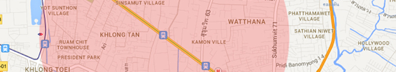
As of this post (mid-2013), Bangkok only has two BTS lines and one MRT line, but that’s changing fast. There are several new lines under construction (which I’m going to write about in a future post soon), but for now, the Sukhumvit line and the Silom line are where most of the clubs, restaurants, malls and nicer condos are located – at least the ones that most foreigners frequent. Of course, Bangkok has many, many very worthwhile attractions that are nowhere near a train line but a very large percentage of the socializing, carousing, eating, drinking and sleeping that an average Bangkok expat does goes on within 2km of the train lines. As an example, let’s look at Thong Lor station, a popular stop in a neighborhood known for it’s foreign population, a